(English & Tokelauan version) Agreement between New Zealand and Kiribati concerning the delimitation of the maritime boundaries between Tokelau and Kiribati, 29 August 2012
- Summary
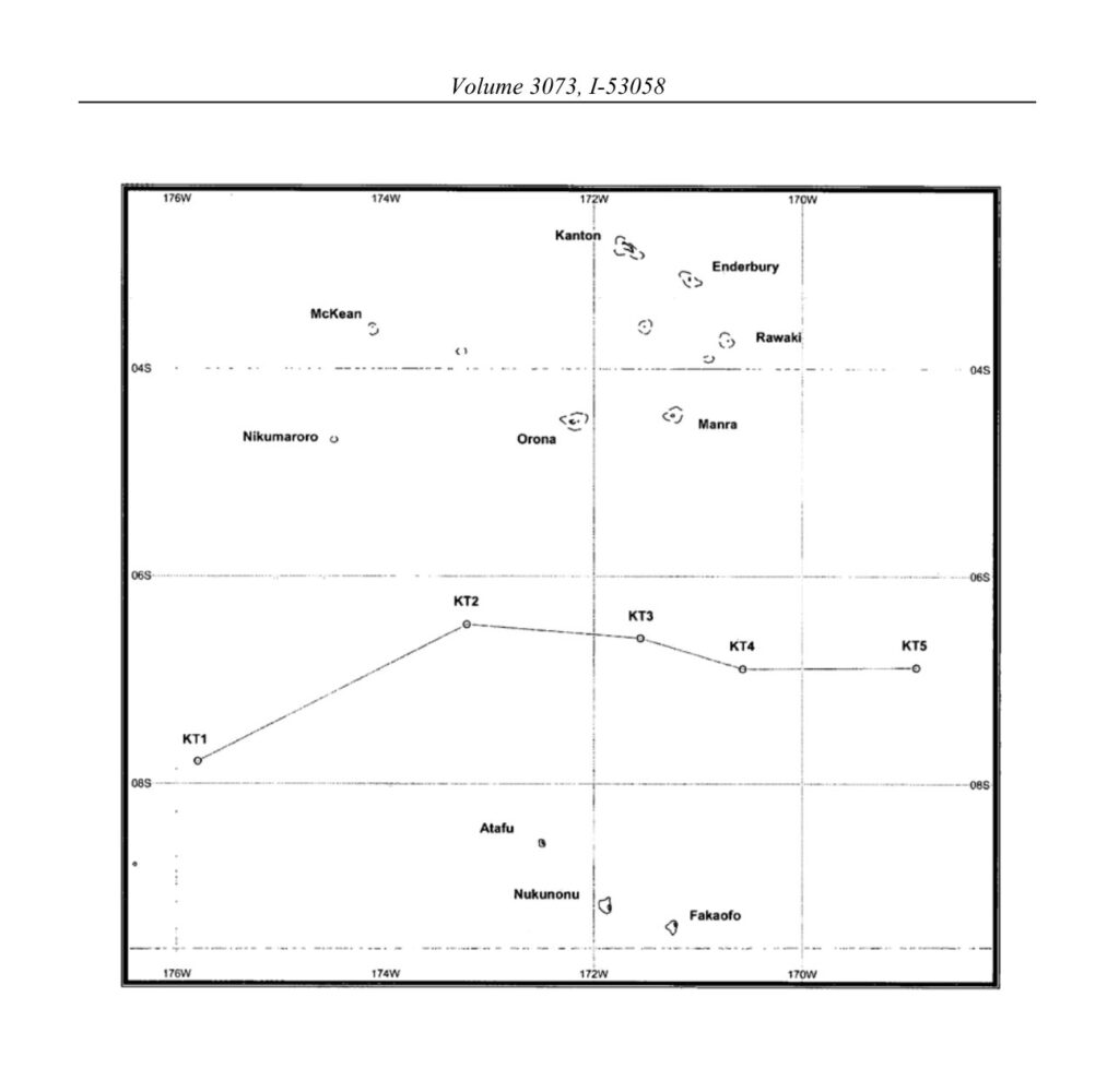
This legal document contains the English and Tokelauan version of the Agreement between New Zealand and Kiribati concerning the delimitation of the maritime boundaries between Tokelau (New Zealand) and Kiribati, signed on 29 August 2012.
As stated in Article 1, the boundary line is formed using the equidistant method, based on the distance between the nearest territorial sea baseline of the two states. Specific coordinates constituting the boundary line are listed in Article 2.1. Article 3 states how the continental shelf boundary, in case where it extends beyond 200 nm of the EEZ, shall be completed.